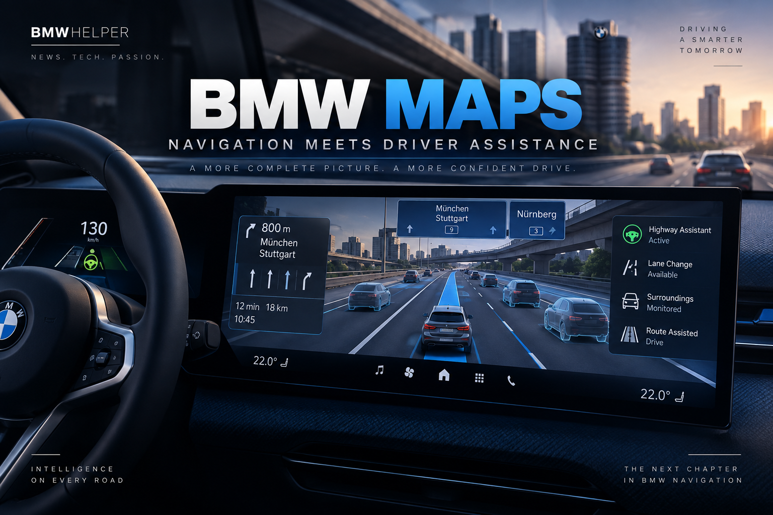
BMW Maps Will Combine Navigation and Driver Assistance in a Single 3D View
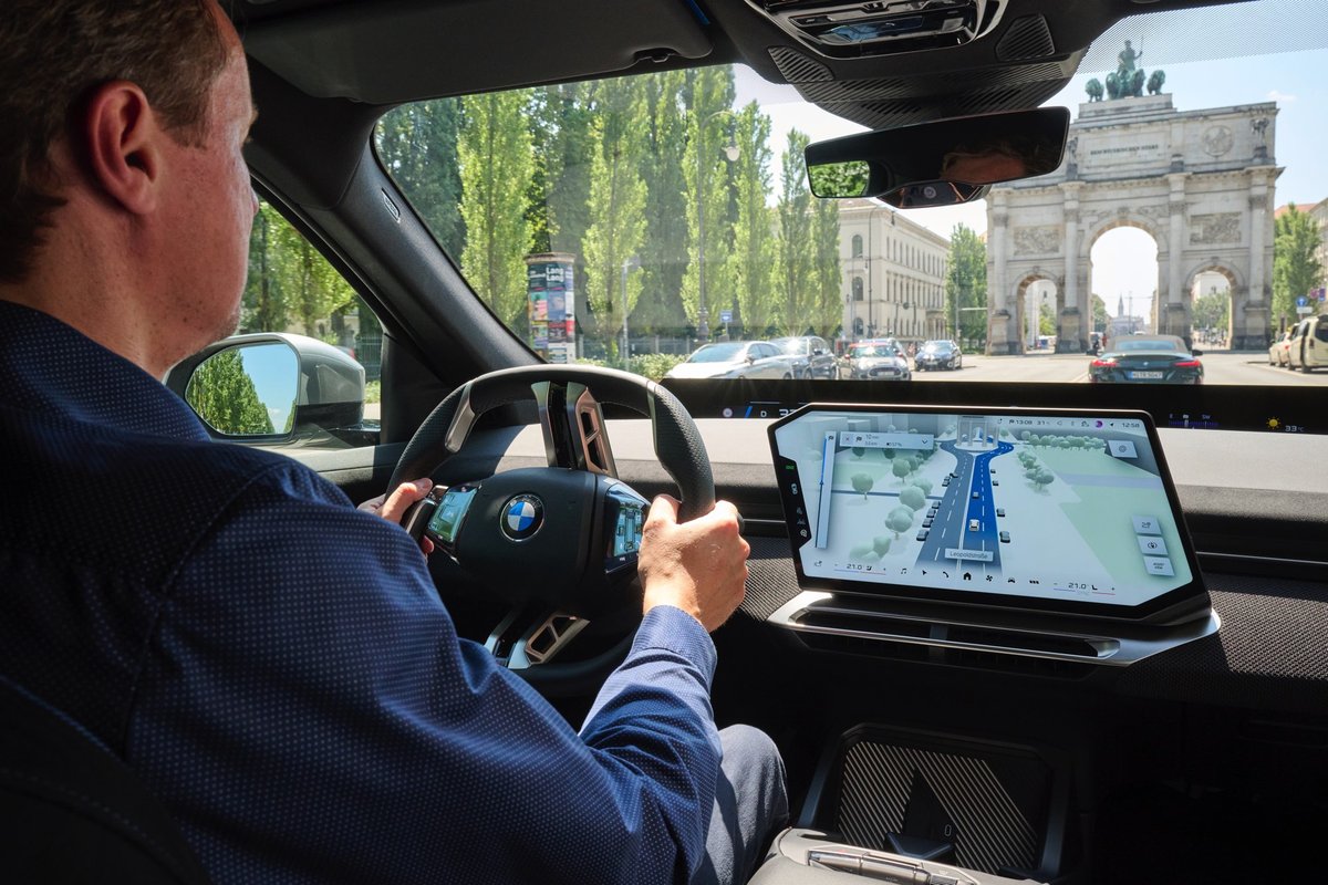
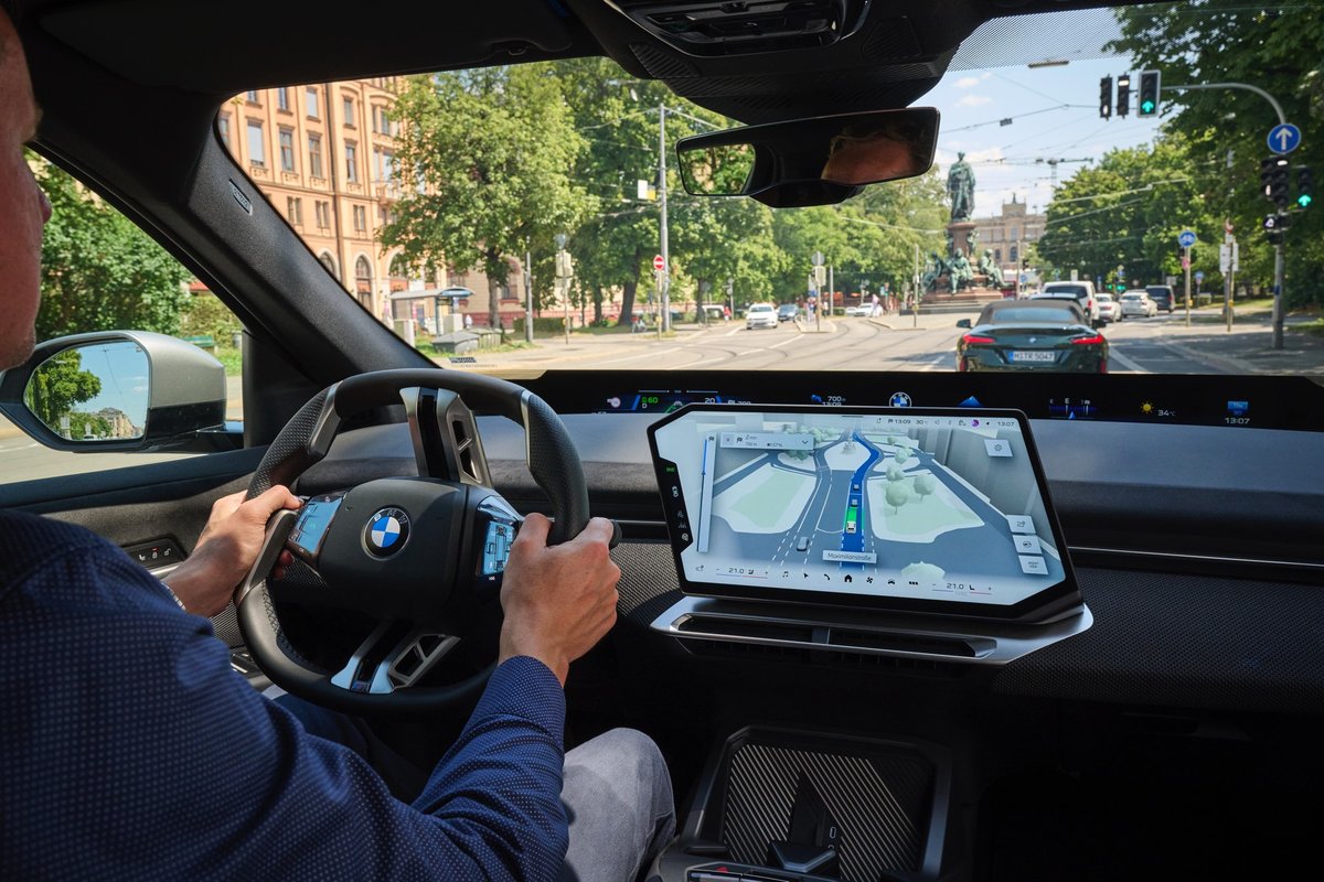
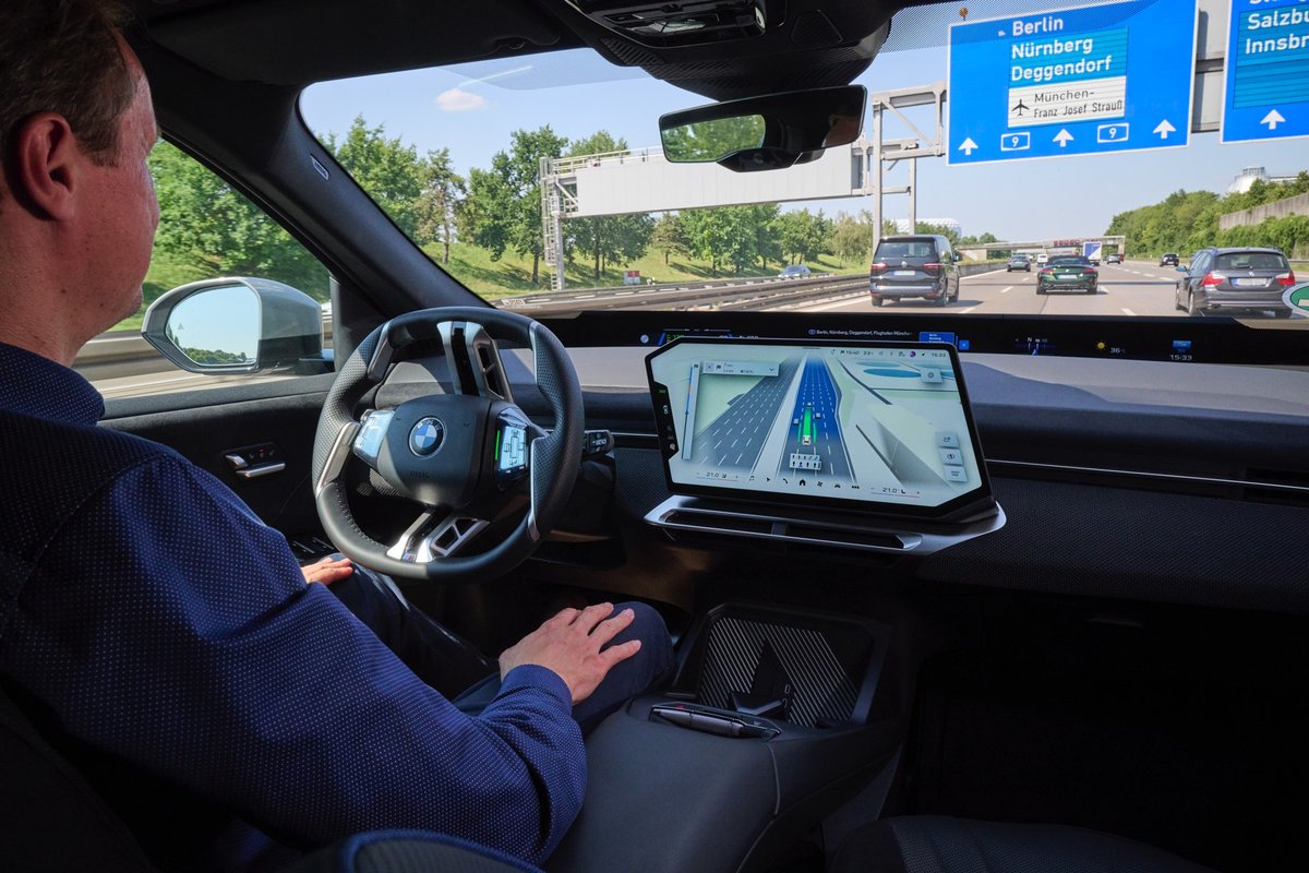
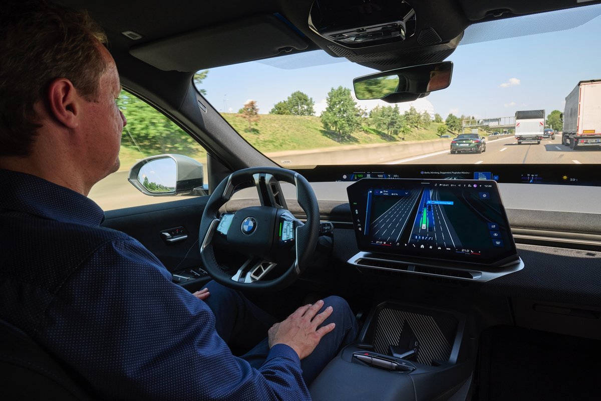
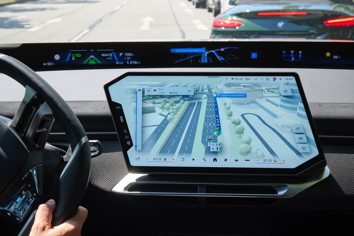
BMW is continuing to rethink what in-car navigation should look like. Starting in October 2026, the company will begin introducing BMW Maps with Driver Assistance for vehicles equipped with BMW Operating System X.
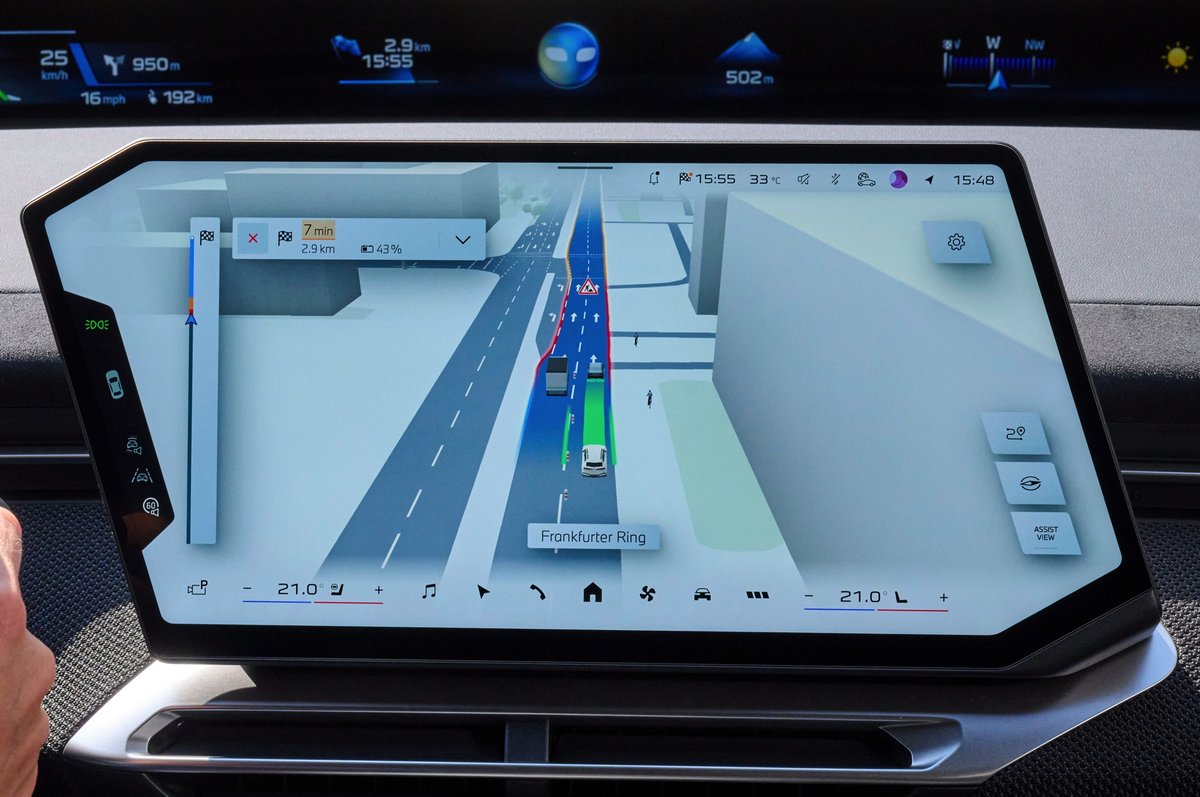
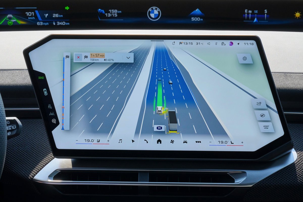
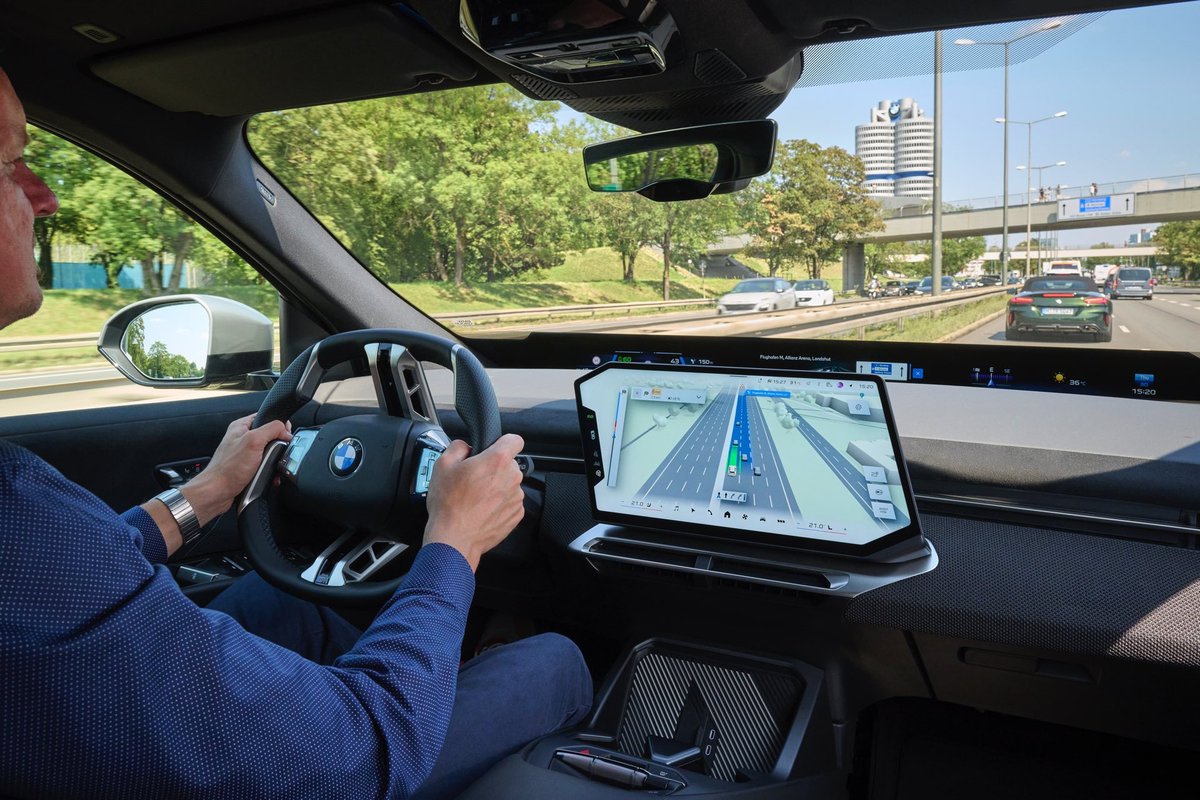
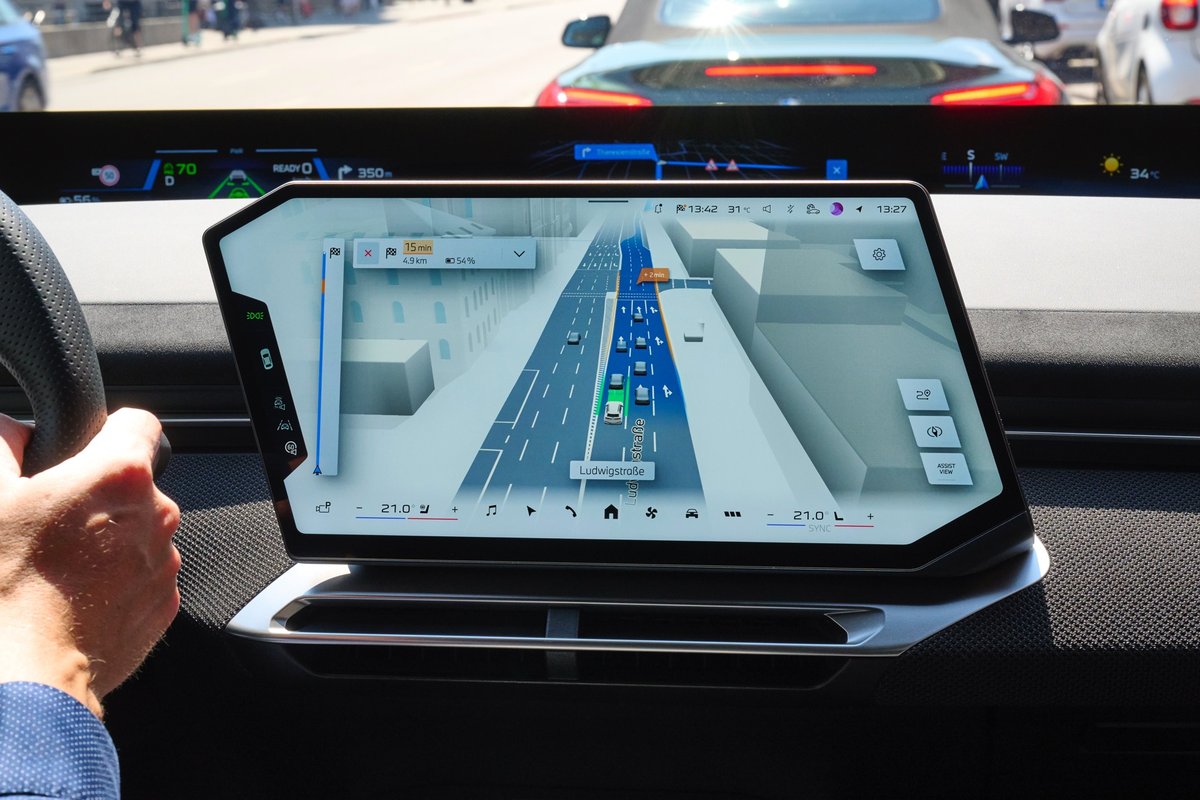
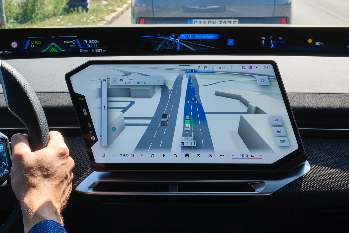
The major change is that navigation and driver-assistance information will no longer be treated as largely separate sources of information. BMW is bringing them together in a single 3D view on the central display.
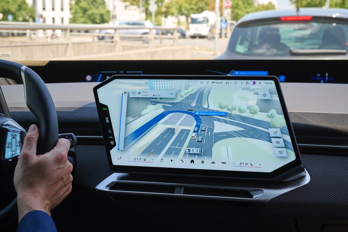
As a result, drivers will be able to see not only their route and upcoming navigation instructions, but also how the vehicle perceives its surroundings.
Navigation That Shows More Than the Route
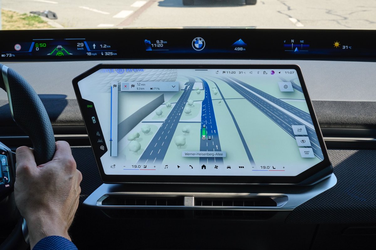
In the new BMW Maps 3D visualization, the vehicle is displayed precisely within its lane and on the correct road level.
The latter is particularly useful at complicated motorway interchanges where several roads may pass above or below each other. The navigation system can provide a clearer representation of exactly where the vehicle is positioned.
At the same time, information from the driver-assistance systems is incorporated into the same view.
BMW Maps is therefore gradually evolving from a conventional navigation map into a visual representation of what is happening around the vehicle and how its assistance systems interpret the current driving situation.
Why Combine Navigation and Driver Assistance?
Modern BMW vehicles can already control speed, following distance and lane position, while some assistance systems allow extended hands-free driving on motorways under defined conditions.
But as the vehicle takes over more of the driving task, it becomes increasingly important for the driver to understand exactly what the system is doing.
The new BMW Maps visualization is designed to make this interaction easier to understand.
At a glance, drivers can better understand:
- where the vehicle is positioned within the lanes;
- which route the navigation system is following;
- how the vehicle perceives its surroundings;
- which assistance functions are currently supporting the driving task.
The map effectively becomes a communication layer between the driver, navigation system and vehicle assistance technology.
Highway Assistant 2 — Hands-Free at up to 130 km/h
One of the most interesting examples of this integration is Highway Assistant 2.
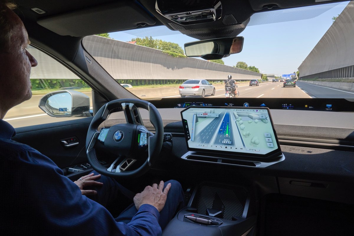
Under suitable conditions, the system enables hands-free assisted driving on motorways at speeds of up to 130 km/h.
The vehicle controls both longitudinal and lateral movement, including speed, distance to other vehicles and lane positioning.
Automated lane changes are supported as well.
The driver can confirm a proposed lane change simply by looking toward the corresponding exterior mirror. The driver-monitoring system detects the glance, allowing the vehicle to perform the manoeuvre when the remaining conditions are satisfied.
With active route guidance through BMW Maps, the system can provide assistance from the motorway entrance all the way to the required exit.
This is where the new integrated 3D view becomes particularly useful: navigation and the actions of the assistance system can be understood from the same display.
The Next Step Is the City
Motorways are only the beginning.
BMW says that starting in 2027, vehicles equipped with BMW Operating System X will begin receiving navigation-guided, semi-automated driving capabilities for urban environments.
Germany is planned to be the first market.
Driving in a city is significantly more complicated than travelling on a motorway. The vehicle has to deal with intersections, multiple lanes, cyclists, pedestrians and constantly changing traffic conditions.
That makes close integration between mapping data, vehicle sensors and driver-assistance technology increasingly important.
BMW and Mapbox
The new function is developed by BMW Group, while the company works with Mapbox for navigation data and mapping technology.
BMW combines digital map information with data collected by the vehicle's sensors and its own driver-assistance systems.
The result is intended to provide a more complete picture on the central display: where the driver needs to go, where the vehicle is currently positioned and how its electronic systems perceive the surrounding environment.
It also demonstrates how BMW Maps is evolving. Navigation is becoming part of the vehicle's intelligent driving architecture rather than simply a tool for calculating routes.
Which BMW Models Will Get It?
BMW Maps with Driver Assistance will begin rolling out in October 2026 for BMW vehicles equipped with BMW Operating System X.
There is, however, an important limitation.
Having Operating System X does not automatically mean that every feature described here will be available.
BMW states that BMW Maps with Driver Assistance is available only in combination with Highway Assistant or Highway & City Assistant and only in selected countries, cities and on supported roads.
The rollout will take place gradually, while the availability, functionality and limitations of the assistance systems may differ between markets.
Navigation Is Becoming Part of Automated Driving
At first glance, the new BMW Maps experience might look like another graphical upgrade to the infotainment system. In reality, the change is considerably more important.
BMW is gradually bringing together three elements that were previously relatively separate:
navigation, environmental perception and driver assistance.
This type of integration will be essential for the continued development of partially and highly automated driving.
For the driver, however, the result is much simpler: instead of several disconnected sources of information, there is one understandable 3D representation showing not only where the car needs to go, but also how it understands the world around it.
And if BMW's planned rollout of navigation-guided semi-automated urban driving begins as expected in 2027, BMW Maps will become much more than an attractive navigation interface. It will be an important part of how drivers interact with the next generation of BMW vehicles.
Source: bmwgroup , bimmertoday.